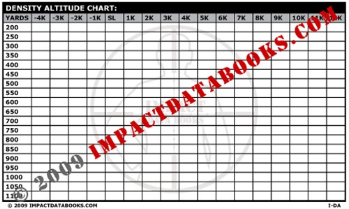
I've been using DA lately for shooting, but was frustrated by not being able to find any good high-res charts to print out for pressure altitude and density altitude.
So I put these together as a PDF, maybe someone else can get some use out of them too.
Density Altitude Chart
Pressure Altitude Chart
Both combined (for double-sided printers)
It works great with the Density-Altitude range card generator here: http://www.direkon.com/DA/
Step 1: Determine station pressure and temperature by any means available. I use my Kestrel or the local weather station.
Step 2: Use the Pressure-Altitude chart to figure the pressure altitude from the station pressure you got in step 1.
Step 3: Use the Density Altitude chart to determine the density altitude, using Pressure Altitude from Step 2 and Temperature from step 1.
Step 4: Go print out a range card for that density altitude, and take it to the range with you. Or if you have pre-printed a bunch like I have, just sift through the stack and use the right one.
The big advantage is that no batteries are required if you have an analog thermometer and barometer. If you carry any Kestrel then no Ballisic Computer is required at all.
I tend to bring my Kestrel 2500 and the charts, and it forms a pretty robust firing solution system. In a pinch I can guestimate the temperature & pressure fairly close and not be dead in the water if my Kestrel drowns. If you have a fancy enough kestrel it will compute DA for you directly, which is preferable to the charts in that its more accurate, but the charts are still handy in case the Kestrel dies or malfunctions.
The charts don't take into account humidity / dewpoint, but will get you pretty close.


