I've used the .mil ATAK before and I know its evolved since then. An ECOTI wasn't a thing yet and I'm betting the capabilities and compatible equipment list within the system has grown as well. A civ version of ATAK (probably to data mine you and/or keep track of people who think you can use this during some kind of insurgency fantasy) has been available for a while now. However, their site as well as the subreddits dedicated to it give you next to zero actual information as far as what works and what doesnt and outside of people needing troubleshooting or nerds nerding out over some sort of specs or whatever, thats about it.
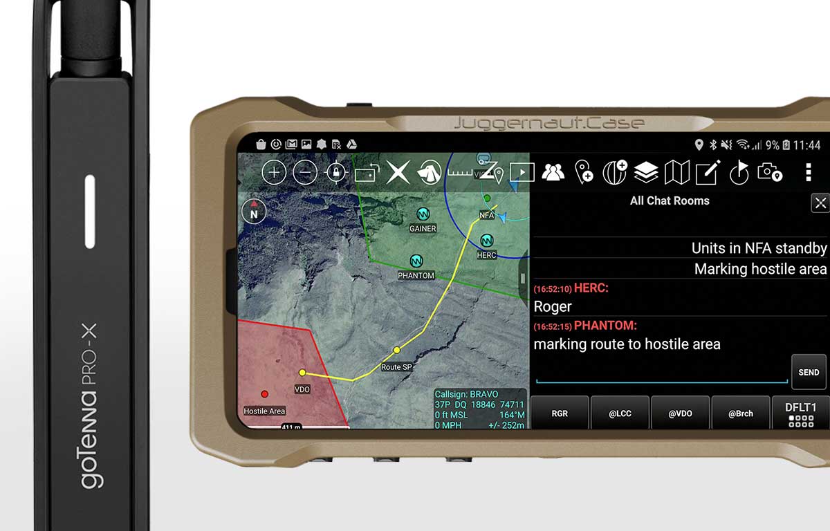
If you're not familiar with ATAK, its basically a newer version of what the DAGR used to be, and can now be run on a cell phone. It allows you to mark waypoints in real time on the phone using a terrain overlay (think interactive google maps) that everyone else on your network can see and also interact with. You can enter info on the targets and waypoints as well as they can be made via other equipment like the PLRF25. A basic example of this would be that you see 3 guys with weapons walking across a hillside. You hit them with the PLRF25 and it'll update into ATAK that there is something there; youd then label it '3 armed personnel, unknown, heading 246 at 1723. Everyone on that net now sees that waypoint on their unit as well as the info.
The other cool thing is anyone linked to the network shows up on ATAK so you know where all of your elements currently are. Even if you are out of cellular range, the GoTenna it works with will continue to receive/transmit via (I think) satellite and will continue to receive and broadcast.
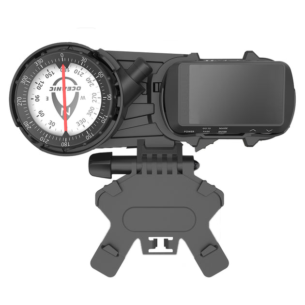
Some of the equipment that works with it are rangefiders, the MBITR radio where the phone will work as a KDU and allow you to manipulate your radio without having to take it out of its pouch and the ECOTI, which from my understanding, if attached, will then give you a real time HUD of the waypoints and where your elements are. It's basically like a fucking round of Battlefield 4 with a HUD and waypoints you see as you move your head towards them.
Basic equipment list for the 'system' would be:
- Galaxy S20 phone 'tactical' version (which they wont sell you because it has the .mil ATAK version on it but you can get the regular S20)
- ATAK software app (civ version available)
- GoTenna Pro (available)
- MBITR (can't get this, however there are civ versions now that are broadband, 15w, near indestructible, and work with all Harris/Thales PTT, Harris batteries and even now work with the old school KDU module)
- ECOTI (available after we were all told it never would be)
The ideal setup would be to have the civ ATAK on the phone. Have the GoTenna linked to the phone. Then via cable have the phone linked to both the ECOTI and the MBITR which in itself I am not sure if its possible as I do not believe the phone has 2 ports, but could be wrong.
The main question here is - do any of you have experience using the civ version, and what is it capable of, and what are its shortcomings/where is it bottlenecked?
And then a few other random questions:
- How does the ECOTI attach to I am assuming the phone? Cable?
- Can you attach the MBITR and ECOTI simultaneously?
- Does the phone still/capable of working as a KDU?


