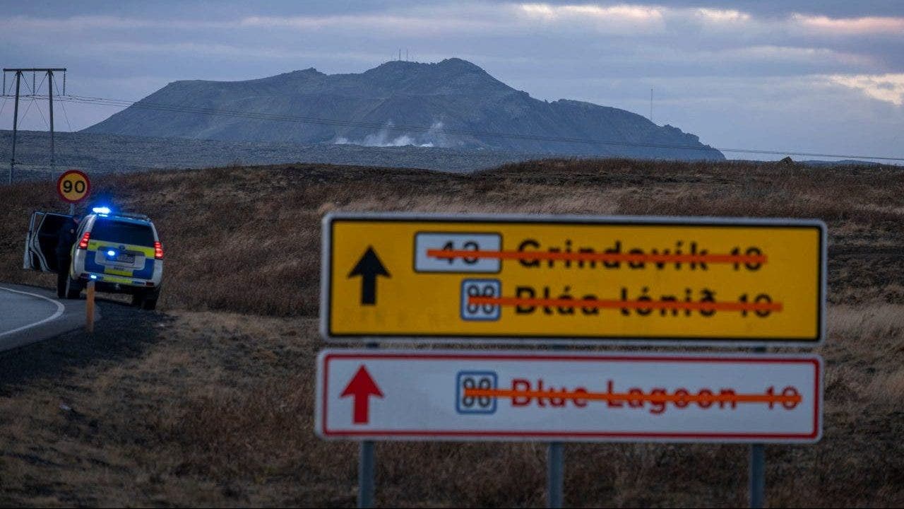
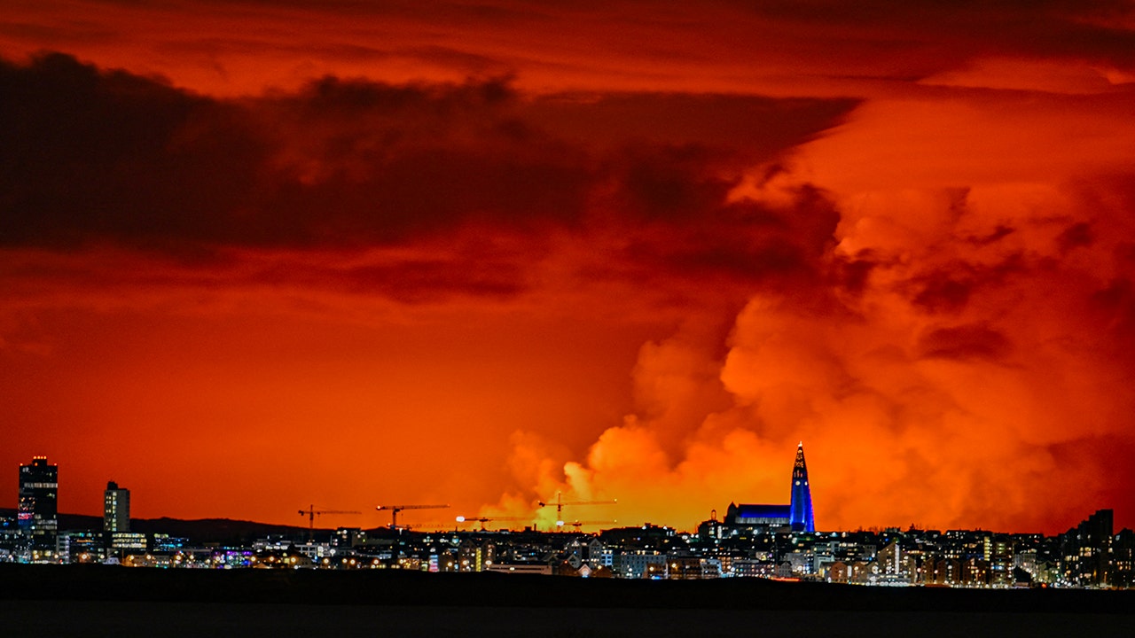
The town of Grindavik (population roughly 3500-5000 residents) on the south coast of the Reykavik Penninsula was evac'd earlier today due to an imminent volcanic eruption. I have a live feed video linked to three cameras posted below if you guys have some time to kill and want to possibly see a real-time eruption. I've been following this for the last three hours. The town is empty now save for a handful of stragglers and EMS personnel. The magmatic intrusion isn't so much of a surprise to geologists as they've been monitoring it for the past few weeks. What is a surprise is it is bigger than initially expected and the recent discovery of a lava tube extending below the town hence the need for the evac order. For the past few hours there has been earthquakes happening at a rate of 100+ per hour. Within the past half hour that rate has tapered off. Which is like a calm before the storm when that happens. When the earthquake frequency calms down, it means magma is close to and getting ready to breach the surface.
I'm posting a couple google earth images below as an aid for the live feed to help give some perspective. Now the live feed shows three cameras and an earthquake map. The earthquake map is on the bottom right. It's updated every couple minutes and there is about a five minute lag between when a quake happens and when the details show on the map. The top two cameras from my best guestimate are near the Blue lagoon area and pointed towards the geothermal plants. The smoke you see in the top right is from the geothermal plant. The bottom left feed is from the greenhouse north of Grindavik (per the comments in the feed) pointed towards town.
Caveat - Now if, when, and where this eruption will take place is anyone's guess. Scientists haven't figured out how to accurately predict eruptions yet. They just know the signs of when one is about to take place. So there is a good chance it won't be caught on one of the few live feed cameras. There is still a small chance that the intrusion will halt itself and no eruption takes place.


