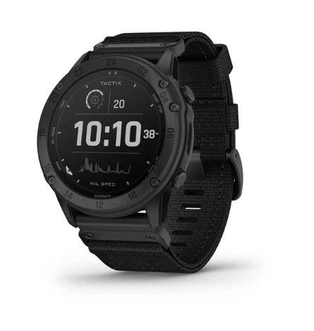
I have a tempe . And while it is off by a few degrees, it is insignificant and not what I was referring to.When connected to a Tempe and a compatible LRF it should not require manually inputting the information. An update was put out not long ago that should update the bullet library onboard, giving the user access to to the full library. This update is performed through Garmin Connect on a phone or via a computer. Future options are also being explored and analyzed to improve upon its capability and connectivity. I was only speaking as of currently and apologize. No telling what future firmware updates may hold.
I am talking about the never ending drift of the heading, pressure, altitude and position readings. I can zoom all the way in on the track log page, set the unit down and watch it drift all around 50 feet or more.
The fact that you suggest I purchase a compatible LRF, makes my point.
With the Naviter, you just zoom in on an earth view overlay map and set the way point EXACTLY where you want it. Accuracy is within a couple of feet regardless of your distance to the target. In other words, you don't need an LRF at all.
You guys are missing the boat on hardware capabilities that have been out there for at least 5 years that I can personally verify.
Your just not hearing it.


