Guys the wife and I have really gotten int hiking and exploring more off the grid. No cell service areas or minimal. We have Apple smart phones and one OnX & Avenza Maps for some stuff and it works well but a battery drain and not real precise at times. We have NOT been in a situation where were were lost and worrying. Maybe trekked another 30-45 min to get out to the road but in a good situation.
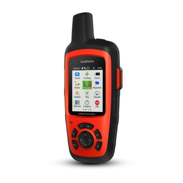
Looking at stand alone Hand Held units like the Garmin Oregon 750T and a couple of similar versions. We go to the Smokey Mountains and hike a couple of times a year. I plan to go out west the next 2 fall seasons for a couple of weeks. Im just looking for something and trustworthy knowledge, experience you guys might have or can point me in the proper direction.
Looking at stand alone Hand Held units like the Garmin Oregon 750T and a couple of similar versions. We go to the Smokey Mountains and hike a couple of times a year. I plan to go out west the next 2 fall seasons for a couple of weeks. Im just looking for something and trustworthy knowledge, experience you guys might have or can point me in the proper direction.